
|
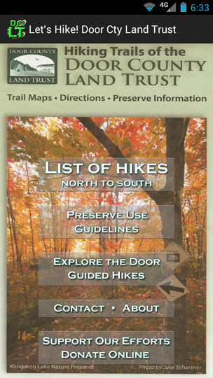 |
The mission of the Door County Land Trust is to preserve, maintain and enhance lands that contribute significantly to the scenic beauty, open space, and ecological integrity of Door County. The Door County Land Trust is a completely local, non-governmental, non-profit membership organization. To encourage public use of some of our nature preserves we published a printed trail map in 2012. The Android app that is now available is a phone-sized version of the information on that printed map. The opening screen is shown at the left. |
|
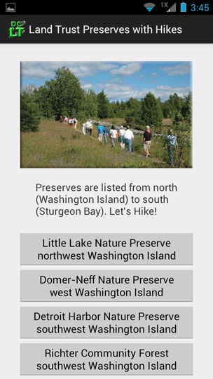 |
When you cllick on the "List of Hikes" above, a detail screen shows the preserve name and general locale for each preserve in a scrollable list. Tap any preserve name for specifics for that preserve. |
|
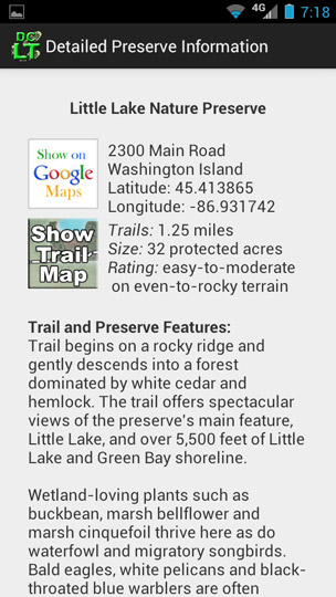 |
Each preserve has descriptive information, and offers two clickable images. The Google Maps link will display the presrve location in a browser window. The Show Trail Map link will display an aerial view of the preserve with the trail(s) and parking indicated. Both are illustrated below. |
|
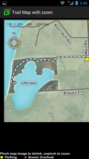 |
The trail map can be expanded for easier reading, or moved around to better view the detail.
|
|
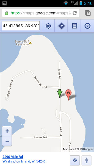 |
The location map has complete Google Maps functionality, i.e. you can shrink or expand it, use the web interface to get directions, change from map view to satellite view, etc.
|
|
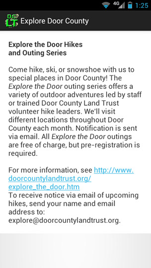 |
The front page buttons link to text descriptions of other aspects of the Land Trust (one shown at left), with links to the Land Trust website for more information.
About Questions regarding the Land Trust, preserves, trails, parking, etc. should be directed to the Land Trust at:
|